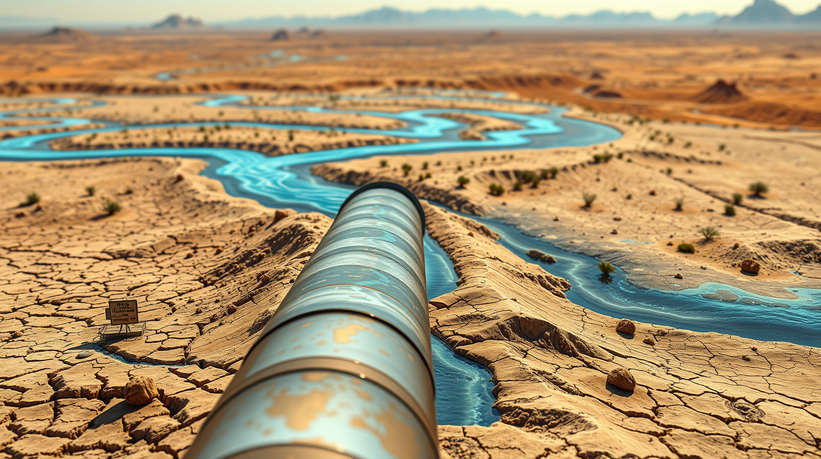
Imagine looking at a map of North America and deciding that Alaska has way too much water while Arizona has far too little. Most people would shrug and move on. Engineers back in 1964 didn't. They drew up a blueprint to literally re-plumb an entire continent.
The proposal was called the North American Water and Power Alliance, or NAWAPA. It remains the most jaw-dropping infrastructure concept ever put on paper. The Ralph M. Parsons Company of California designed a scheme to capture runoff from Alaska and northwestern Canada. They wanted to route that water thousands of miles south through the Rocky Mountain Trench, feeding thirsty plains and deserts across thirty-three US states, seven Canadian provinces, and northern Mexico. For a different perspective, consider: this related article.
It was peak mid-century arrogance wrapped in high-stakes engineering.
The Madness of the Blueprint
You have to look at the scale to believe it. The plan called for 369 distinct construction projects. Picture a massive, 500-mile-long reservoir stretching down the length of the Rocky Mountain Trench in British Columbia. Picture water flowing past the headwaters of the Yukon, Liard, and Peace rivers, crossing into Montana, and getting pumped over mountain ranges through massive nuclear-powered lifts. Further insight on this trend has been shared by BBC.
The price tag sat at roughly 100 billion dollars in 1970s money. That equaled the entire budget of the US Interstate Highway System. Proponents argued it would generate staggering amounts of hydroelectric power and stabilize shrinking water tables like the Ogallala Aquifer.
Politicians in Washington loved the boldness. Magazines hailed it as the greatest public works project in human history. Yet the blueprint ignored basic political and ecological reality.
Why the Plan Collapsed
Water doesn't respect national boundaries, but nations certainly do. Canada was never going to hand over control of its northern watersheds to a foreign power authority. The diplomatic friction alone would have triggered a crisis.
Environmental pushback also killed the momentum. Flooding millions of acres of pristine wilderness, wiping out salmon habitats, and relocating entire communities stopped being acceptable trade-offs as the environmental movement gained traction in the late 1960s and 1970s. Critics rightly pointed out that treating a continent as a simple plumbing puzzle ignores the complex web of life depending on those natural flows.
Why People Still Talk About It Today
Every time Lake Mead drops to record lows or a severe drought grips the American Southwest, someone digs up the old NAWAPA maps. Dry regions face permanent stress, and humanity keeps looking for a magic bullet to out-engineer nature.
We still suffer from the illusion that scarcity can be solved purely through massive concrete megaprojects. Modern water managers generally lean toward conservation, efficiency, and localized recycling instead of moving trillions of gallons across thousands of miles.
The 1964 proposal serves as a stark warning. It shows what happens when ambition outruns common sense.
Stop looking for a continental-scale savior to fix local water waste. Look at municipal conservation policies, agricultural efficiency upgrades, and watershed protection measures happening in your own backyard right now.